{"title":"基于开放词汇目标检测和街景图像语义分割的空气污染暴露模型。","authors":"Zhendong Yuan,Jules Kerckhoffs,Pi-I Debby Lin,Esra Suel,Hao Li,Li Yi,Marcia Pescador Jimenez,Peter James,Kees de Hoogh,Gerard Hoek,Roel Vermeulen","doi":"10.1021/acs.est.5c09687","DOIUrl":null,"url":null,"abstract":"Mobile monitoring campaigns combined with land use regression (LUR) models effectively capture fine-scale spatial variations in urban air pollution. However, traditional predictor variables often fail to capture the nuances of the built environment and undocumented emission sources. To address this, we developed a framework integrating customizable object-level and segmentation-level visual features from street-view images into stepwise regression and random-forest-based LUR models. Using 5.7 million mobile air pollution measurements (2019-2020) and 0.37 million street-view images (2008-2024), we mapped nitrogen dioxide (NO2), black carbon (BC), and ultrafine particles (UFP) across 46,664 road segments in Amsterdam, The Netherlands. Incorporating street-view images improved model performance, increasing R2 by 0.01-0.05 and reducing mean absolute errors by 0.7-10.3%. Sensitivity analyses indicated that key street-view-derived visual features remained stable across years and seasons. Using images from nearby years expanded training instances, thereby enhancing alignment with mobile measurements at fine granularity. Our open-vocabulary object detection module identified influential but previously unrecognized object predictors, such as chimneys, traffic lights, and shops. Combined with segmentation-derived features (e.g., walls, roads, grass), street-view images contributed 8-18% feature importance to model predictions. These findings highlight the potential of visual data in enhancing hyperlocal air pollution mapping and exposure assessment.","PeriodicalId":36,"journal":{"name":"环境科学与技术","volume":"19 1","pages":""},"PeriodicalIF":11.3000,"publicationDate":"2025-09-27","publicationTypes":"Journal Article","fieldsOfStudy":null,"isOpenAccess":false,"openAccessPdf":"","citationCount":"0","resultStr":"{\"title\":\"Advancing Air Pollution Exposure Models with Open-Vocabulary Object Detection and Semantic Segmentation of Street-View Images.\",\"authors\":\"Zhendong Yuan,Jules Kerckhoffs,Pi-I Debby Lin,Esra Suel,Hao Li,Li Yi,Marcia Pescador Jimenez,Peter James,Kees de Hoogh,Gerard Hoek,Roel Vermeulen\",\"doi\":\"10.1021/acs.est.5c09687\",\"DOIUrl\":null,\"url\":null,\"abstract\":\"Mobile monitoring campaigns combined with land use regression (LUR) models effectively capture fine-scale spatial variations in urban air pollution. However, traditional predictor variables often fail to capture the nuances of the built environment and undocumented emission sources. To address this, we developed a framework integrating customizable object-level and segmentation-level visual features from street-view images into stepwise regression and random-forest-based LUR models. Using 5.7 million mobile air pollution measurements (2019-2020) and 0.37 million street-view images (2008-2024), we mapped nitrogen dioxide (NO2), black carbon (BC), and ultrafine particles (UFP) across 46,664 road segments in Amsterdam, The Netherlands. Incorporating street-view images improved model performance, increasing R2 by 0.01-0.05 and reducing mean absolute errors by 0.7-10.3%. Sensitivity analyses indicated that key street-view-derived visual features remained stable across years and seasons. Using images from nearby years expanded training instances, thereby enhancing alignment with mobile measurements at fine granularity. Our open-vocabulary object detection module identified influential but previously unrecognized object predictors, such as chimneys, traffic lights, and shops. Combined with segmentation-derived features (e.g., walls, roads, grass), street-view images contributed 8-18% feature importance to model predictions. These findings highlight the potential of visual data in enhancing hyperlocal air pollution mapping and exposure assessment.\",\"PeriodicalId\":36,\"journal\":{\"name\":\"环境科学与技术\",\"volume\":\"19 1\",\"pages\":\"\"},\"PeriodicalIF\":11.3000,\"publicationDate\":\"2025-09-27\",\"publicationTypes\":\"Journal Article\",\"fieldsOfStudy\":null,\"isOpenAccess\":false,\"openAccessPdf\":\"\",\"citationCount\":\"0\",\"resultStr\":null,\"platform\":\"Semanticscholar\",\"paperid\":null,\"PeriodicalName\":\"环境科学与技术\",\"FirstCategoryId\":\"1\",\"ListUrlMain\":\"https://doi.org/10.1021/acs.est.5c09687\",\"RegionNum\":1,\"RegionCategory\":\"环境科学与生态学\",\"ArticlePicture\":[],\"TitleCN\":null,\"AbstractTextCN\":null,\"PMCID\":null,\"EPubDate\":\"\",\"PubModel\":\"\",\"JCR\":\"Q1\",\"JCRName\":\"ENGINEERING, ENVIRONMENTAL\",\"Score\":null,\"Total\":0}","platform":"Semanticscholar","paperid":null,"PeriodicalName":"环境科学与技术","FirstCategoryId":"1","ListUrlMain":"https://doi.org/10.1021/acs.est.5c09687","RegionNum":1,"RegionCategory":"环境科学与生态学","ArticlePicture":[],"TitleCN":null,"AbstractTextCN":null,"PMCID":null,"EPubDate":"","PubModel":"","JCR":"Q1","JCRName":"ENGINEERING, ENVIRONMENTAL","Score":null,"Total":0}
Advancing Air Pollution Exposure Models with Open-Vocabulary Object Detection and Semantic Segmentation of Street-View Images.
Mobile monitoring campaigns combined with land use regression (LUR) models effectively capture fine-scale spatial variations in urban air pollution. However, traditional predictor variables often fail to capture the nuances of the built environment and undocumented emission sources. To address this, we developed a framework integrating customizable object-level and segmentation-level visual features from street-view images into stepwise regression and random-forest-based LUR models. Using 5.7 million mobile air pollution measurements (2019-2020) and 0.37 million street-view images (2008-2024), we mapped nitrogen dioxide (NO2), black carbon (BC), and ultrafine particles (UFP) across 46,664 road segments in Amsterdam, The Netherlands. Incorporating street-view images improved model performance, increasing R2 by 0.01-0.05 and reducing mean absolute errors by 0.7-10.3%. Sensitivity analyses indicated that key street-view-derived visual features remained stable across years and seasons. Using images from nearby years expanded training instances, thereby enhancing alignment with mobile measurements at fine granularity. Our open-vocabulary object detection module identified influential but previously unrecognized object predictors, such as chimneys, traffic lights, and shops. Combined with segmentation-derived features (e.g., walls, roads, grass), street-view images contributed 8-18% feature importance to model predictions. These findings highlight the potential of visual data in enhancing hyperlocal air pollution mapping and exposure assessment.
期刊介绍:
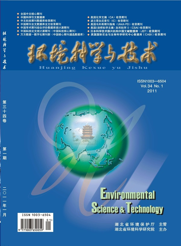
Environmental Science & Technology (ES&T) is a co-sponsored academic and technical magazine by the Hubei Provincial Environmental Protection Bureau and the Hubei Provincial Academy of Environmental Sciences.
Environmental Science & Technology (ES&T) holds the status of Chinese core journals, scientific papers source journals of China, Chinese Science Citation Database source journals, and Chinese Academic Journal Comprehensive Evaluation Database source journals. This publication focuses on the academic field of environmental protection, featuring articles related to environmental protection and technical advancements.