Jiannan Wang, Chunwei Chou, Sébastien Biraud, Andre Santos, Hari Viswanathan, Andrew Govert, Yuxin Wu
{"title":"Improving UAV Magnetic Surveys with a Theory-Guided Empirical Model for Locating and Characterizing Undocumented Orphaned Oil and Gas Wells","authors":"Jiannan Wang, Chunwei Chou, Sébastien Biraud, Andre Santos, Hari Viswanathan, Andrew Govert, Yuxin Wu","doi":"10.1021/acs.est.6c02007","DOIUrl":null,"url":null,"abstract":"<p>Undocumented orphaned oil and gas wells can pose risks\r\nthrough\r\nunintended releases of substances, yet they remain difficult to locate\r\nbecause records are incomplete and surface indicators are often absent.\r\nUnmanned aerial vehicle (UAV) magnetometry is increasingly used to\r\nidentify steel-cased wells, but surveys commonly stop at target detection\r\nand provide limited guidance on how sensor height affects anomaly\r\nstrength, burial-depth estimates, or confidence in non-detection.\r\nHere, we develop a physics-informed, calibrated empirical model between\r\npeak magnetic-anomaly amplitude and distance from the magnetometer\r\nto the top of steel casing. Using anomaly amplitude measured at known\r\nsensor height, the model provides three practical outputs: estimated\r\ncasing-top burial depth where casing is not visible, maximum sensor\r\nheight at which casing at a specified depth remains detectable, and\r\ncorrection of variable-height anomalies to a common reference height.\r\nWe calibrate the relationship using multi-altitude UAV surveys at\r\nWildcat Canyon Regional Park, California, and Osage Ranch, Oklahoma,\r\nand apply it at Hillman State Park, Pennsylvania, identifying one\r\nundocumented-well candidate supported by ground magnetometry and estimating\r\nburial depths for three documented wells consistent with independent\r\ndepth constraints.</p>","PeriodicalId":36,"journal":{"name":"环境科学与技术","volume":"60 41","pages":"29355–29365"},"PeriodicalIF":12.2000,"publicationDate":"2026-10-20","publicationTypes":"Journal Article","fieldsOfStudy":null,"isOpenAccess":false,"openAccessPdf":"","citationCount":"0","resultStr":null,"platform":"Semanticscholar","paperid":null,"PeriodicalName":"环境科学与技术","FirstCategoryId":"1","ListUrlMain":"https://pubs.acs.org/doi/10.1021/acs.est.6c02007","RegionNum":1,"RegionCategory":"环境科学与生态学","ArticlePicture":[],"TitleCN":null,"AbstractTextCN":null,"PMCID":null,"EPubDate":"2026/9/17 0:00:00","PubModel":"Epub","JCR":"Q1","JCRName":"ENGINEERING, ENVIRONMENTAL","Score":null,"Total":0}
引用次数: 0
Abstract
Undocumented orphaned oil and gas wells can pose risks
through
unintended releases of substances, yet they remain difficult to locate
because records are incomplete and surface indicators are often absent.
Unmanned aerial vehicle (UAV) magnetometry is increasingly used to
identify steel-cased wells, but surveys commonly stop at target detection
and provide limited guidance on how sensor height affects anomaly
strength, burial-depth estimates, or confidence in non-detection.
Here, we develop a physics-informed, calibrated empirical model between
peak magnetic-anomaly amplitude and distance from the magnetometer
to the top of steel casing. Using anomaly amplitude measured at known
sensor height, the model provides three practical outputs: estimated
casing-top burial depth where casing is not visible, maximum sensor
height at which casing at a specified depth remains detectable, and
correction of variable-height anomalies to a common reference height.
We calibrate the relationship using multi-altitude UAV surveys at
Wildcat Canyon Regional Park, California, and Osage Ranch, Oklahoma,
and apply it at Hillman State Park, Pennsylvania, identifying one
undocumented-well candidate supported by ground magnetometry and estimating
burial depths for three documented wells consistent with independent
depth constraints.
期刊介绍:
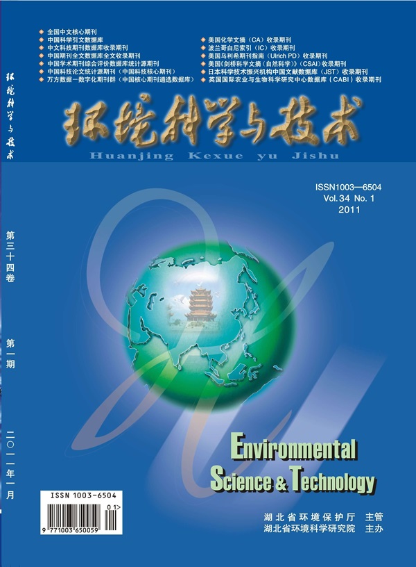
Environmental Science & Technology (ES&T) is a co-sponsored academic and technical magazine by the Hubei Provincial Environmental Protection Bureau and the Hubei Provincial Academy of Environmental Sciences.
Environmental Science & Technology (ES&T) holds the status of Chinese core journals, scientific papers source journals of China, Chinese Science Citation Database source journals, and Chinese Academic Journal Comprehensive Evaluation Database source journals. This publication focuses on the academic field of environmental protection, featuring articles related to environmental protection and technical advancements.


 求助内容:
 应助结果提醒方式:


 京公网安备 11010802042870号


