Assessment of forest fire severity and land surface temperature using Google Earth Engine: a case study of Gujarat State, India
IF 5
3区 环境科学与生态学
Q1 ECOLOGY
引用次数: 0
Abstract
Forest fires are a recurring issue in many parts of the world, including India. These fires can have various causes, including human activities (such as agricultural burning, campfires, or discarded cigarettes) and natural factors (such as lightning). The present study presents a comprehensive and advanced methodology for assessing wildfire susceptibility by integrating diverse environmental variables and leveraging cutting-edge machine learning techniques across Gujarat State, India. The primary goal of the study is to utilize Google Earth Engine to compare locations in Gujarat, India, before and after forest fires. High-resolution satellite data were used to assess the amount and types of changes caused by forest fires. The present study meticulously analyzes various environmental variables, i.e., slope orientation, elevation, normalized difference vegetation index (NDVI), drainage density, precipitation, and temperature to understand landscape characteristics and assess wildfire susceptibility. In addition, a sophisticated random forest regression model is used to predict land surface temperature based on a set of environmental parameters. The maps that result depict the geographical distribution of normalized burn ratio and difference normalized burn ratio and land surface temperature forecasts, providing valuable insights into spatial patterns and trends. The findings of this work show that an automated temporal analysis utilizing Google Earth Engine may be used successfully over a wide range of land cover types, providing critical data for future monitoring of such threats. The impact of forest fires can be severe, leading to the loss of biodiversity, damage to ecosystems, and threats to human settlements.利用谷歌地球引擎评估森林火灾严重程度和地表温度:印度古吉拉特邦案例研究
森林火灾是包括印度在内的世界许多地区经常发生的问题。这些火灾的起因多种多样,包括人类活动(如农业焚烧、篝火或丢弃的香烟)和自然因素(如闪电)。本研究通过整合各种环境变量,并利用印度古吉拉特邦的尖端机器学习技术,提出了一种评估野火易发性的全面而先进的方法。本研究的主要目标是利用谷歌地球引擎对印度古吉拉特邦发生森林火灾前后的地点进行比较。高分辨率卫星数据用于评估森林火灾造成的变化数量和类型。本研究细致分析了各种环境变量,即坡度方向、海拔、归一化差异植被指数(NDVI)、排水密度、降水量和温度,以了解地貌特征并评估野火易发性。此外,还使用复杂的随机森林回归模型,根据一组环境参数预测地表温度。由此绘制的地图描述了归一化燃烧比、归一化燃烧比差值和地表温度预测的地理分布,为了解空间模式和趋势提供了宝贵的信息。这项工作的结果表明,利用谷歌地球引擎进行的自动时间分析可成功应用于多种土地覆被类型,为今后监测此类威胁提供重要数据。森林火灾的影响可能非常严重,会导致生物多样性丧失、生态系统遭到破坏,并对人类住区构成威胁。
本文章由计算机程序翻译,如有差异,请以英文原文为准。
求助全文
约1分钟内获得全文
求助全文
来源期刊

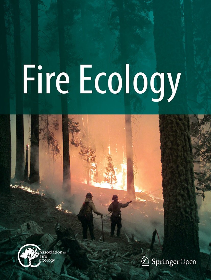
Fire Ecology
ECOLOGY-FORESTRY
CiteScore
6.20
自引率
7.80%
发文量
24
审稿时长
20 weeks
期刊介绍:
Fire Ecology is the international scientific journal supported by the Association for Fire Ecology. Fire Ecology publishes peer-reviewed articles on all ecological and management aspects relating to wildland fire. We welcome submissions on topics that include a broad range of research on the ecological relationships of fire to its environment, including, but not limited to:
Ecology (physical and biological fire effects, fire regimes, etc.)
Social science (geography, sociology, anthropology, etc.)
Fuel
Fire science and modeling
Planning and risk management
Law and policy
Fire management
Inter- or cross-disciplinary fire-related topics
Technology transfer products.
 求助内容:
求助内容: 应助结果提醒方式:


