Topographic conditions as governing factors of mire vegetation types analyzed from drone-based terrain model

IF 2.2 3区 环境科学与生态学 Q2 ECOLOGY
Kazuhiro Kaneko, Minoru Yokochi, Takashi Inoue, Yukie Kato, Hiroko Fujita
{"title":"Topographic conditions as governing factors of mire vegetation types analyzed from drone-based terrain model","authors":"Kazuhiro Kaneko,&nbsp;Minoru Yokochi,&nbsp;Takashi Inoue,&nbsp;Yukie Kato,&nbsp;Hiroko Fujita","doi":"10.1111/jvs.13226","DOIUrl":null,"url":null,"abstract":"<div>\n \n \n <section>\n \n <h3> Questions</h3>\n \n <p>Previous studies have shown that mire vegetation responds to fine-scale differences in topography; however, very few studies have examined the relationship between multiple topographic conditions and vegetation distribution patterns by using topographic information with a resolution finer than microtopographic patches of sub-meter scale in mires. Is it possible to predict vegetation distribution patterns in a mire using topographic information derived from drone imagery? How do topographic conditions affect the emergence of vegetation types?</p>\n </section>\n \n <section>\n \n <h3> Location</h3>\n \n <p>3 km<sup>2</sup> of sloping mire in eastern Hokkaido, northern Japan.</p>\n </section>\n \n <section>\n \n <h3> Methods</h3>\n \n <p>Digital surface models (DSMs) and orthomosaics were created using an affordable drone (Phantom3 advanced) and photogrammetry. We calculated 23 variables reflecting topographic conditions from DSMs. The locations of four vegetation types (<i>Moliniopsis japonica</i>–<i>Eriophorum vaginatum</i>, ME; <i>Moliniopsis japonica–Carex lasiocarpa</i>, MC; <i>Sphagnum fuscum</i>–<i>Ledum palustre</i>, SL; and <i>Carex lyngbyei–Thelypteris palustris</i>, CT) were recorded by field survey and orthomosaics. Random forest models that predicted vegetation types from topographic variables were created and we evaluated the prediction accuracy, importance of variables and effect of variables on the occurrence probability of the vegetation types.</p>\n </section>\n \n <section>\n \n <h3> Results</h3>\n \n <p>All predictive indicators (recall, precision, overall accuracy, kappa) were very high (&gt;0.9). Important variables for modeling were altitude, relative height to the surroundings, slopes at a scale of several 10 m, soil wetness index and terrain ruggedness. Each vegetation type appeared under different topographic conditions; altitude was a key factor in ME and MC, and slope in CT. SL showed patchy distribution predictions on hummocks.</p>\n </section>\n \n <section>\n \n <h3> Conclusions</h3>\n \n <p>Vegetation distribution in the mire was strongly related to topographic information based on the DSMs. Analysis of the variable effects indicates that the emergence of the vegetation types was explained by a combination of multiple topographic conditions. This approach has the outstanding advantages of obtaining many survey points quickly and retrieving topographic conditions difficult to measure using on-ground field surveys.</p>\n </section>\n </div>","PeriodicalId":49965,"journal":{"name":"Journal of Vegetation Science","volume":"35 1","pages":""},"PeriodicalIF":2.2000,"publicationDate":"2024-01-17","publicationTypes":"Journal Article","fieldsOfStudy":null,"isOpenAccess":false,"openAccessPdf":"","citationCount":"0","resultStr":null,"platform":"Semanticscholar","paperid":null,"PeriodicalName":"Journal of Vegetation Science","FirstCategoryId":"93","ListUrlMain":"https://onlinelibrary.wiley.com/doi/10.1111/jvs.13226","RegionNum":3,"RegionCategory":"环境科学与生态学","ArticlePicture":[],"TitleCN":null,"AbstractTextCN":null,"PMCID":null,"EPubDate":"","PubModel":"","JCR":"Q2","JCRName":"ECOLOGY","Score":null,"Total":0}
引用次数: 0

Abstract

Questions

Previous studies have shown that mire vegetation responds to fine-scale differences in topography; however, very few studies have examined the relationship between multiple topographic conditions and vegetation distribution patterns by using topographic information with a resolution finer than microtopographic patches of sub-meter scale in mires. Is it possible to predict vegetation distribution patterns in a mire using topographic information derived from drone imagery? How do topographic conditions affect the emergence of vegetation types?

Location

3 km2 of sloping mire in eastern Hokkaido, northern Japan.

Methods

Digital surface models (DSMs) and orthomosaics were created using an affordable drone (Phantom3 advanced) and photogrammetry. We calculated 23 variables reflecting topographic conditions from DSMs. The locations of four vegetation types (Moliniopsis japonicaEriophorum vaginatum, ME; Moliniopsis japonica–Carex lasiocarpa, MC; Sphagnum fuscumLedum palustre, SL; and Carex lyngbyei–Thelypteris palustris, CT) were recorded by field survey and orthomosaics. Random forest models that predicted vegetation types from topographic variables were created and we evaluated the prediction accuracy, importance of variables and effect of variables on the occurrence probability of the vegetation types.

Results

All predictive indicators (recall, precision, overall accuracy, kappa) were very high (>0.9). Important variables for modeling were altitude, relative height to the surroundings, slopes at a scale of several 10 m, soil wetness index and terrain ruggedness. Each vegetation type appeared under different topographic conditions; altitude was a key factor in ME and MC, and slope in CT. SL showed patchy distribution predictions on hummocks.

Conclusions

Vegetation distribution in the mire was strongly related to topographic information based on the DSMs. Analysis of the variable effects indicates that the emergence of the vegetation types was explained by a combination of multiple topographic conditions. This approach has the outstanding advantages of obtaining many survey points quickly and retrieving topographic conditions difficult to measure using on-ground field surveys.
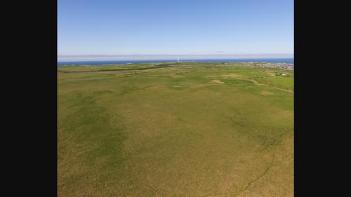
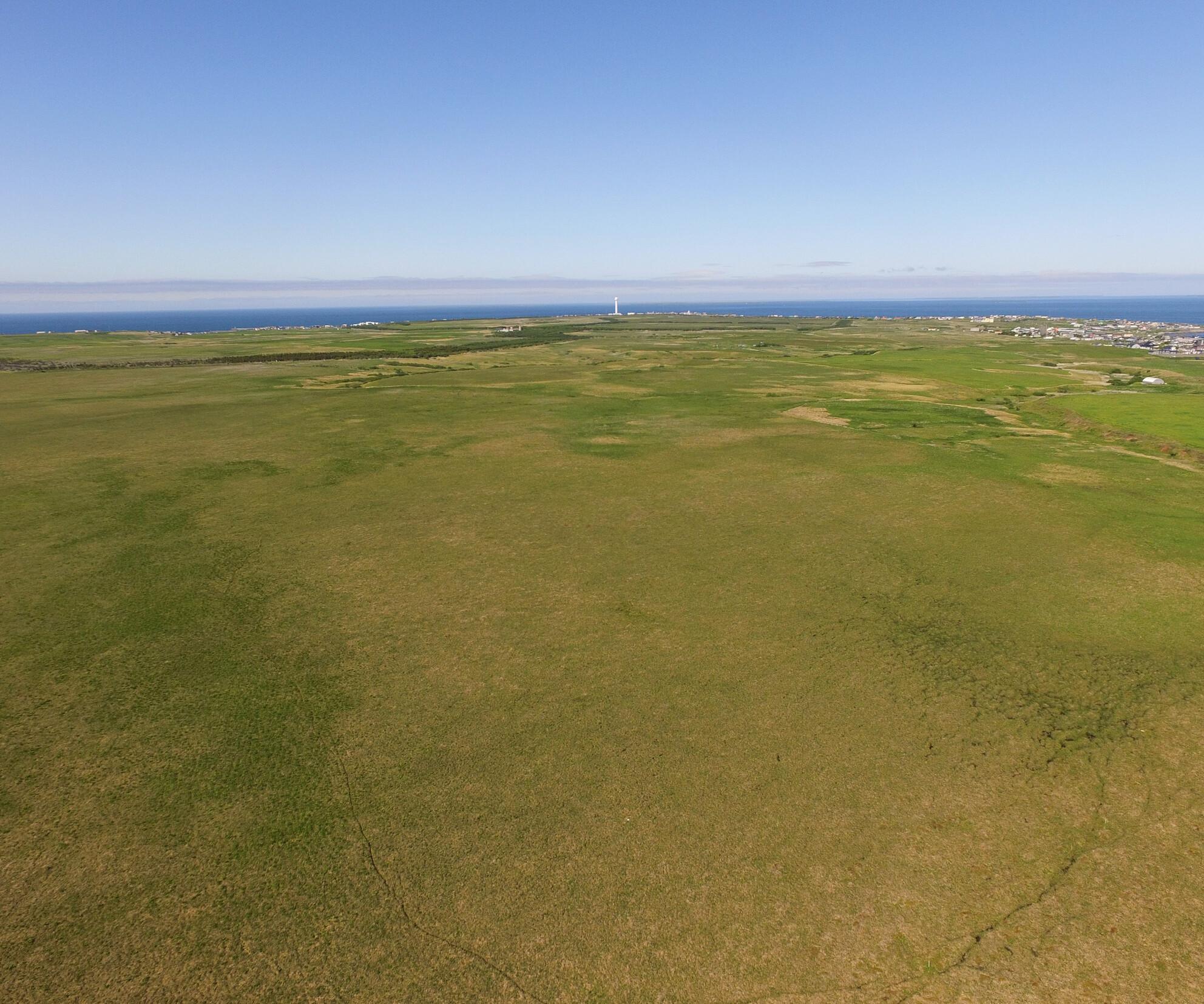
Abstract Image

Abstract Image

通过无人机地形模型分析地形条件对沼泽植被类型的影响因素
以往的研究表明,沼泽植被会对微尺度的地形差异做出反应;然而,很少有研究通过使用分辨率高于沼泽中亚米尺度微地形斑块的地形信息,来研究多种地形条件与植被分布模式之间的关系。利用无人机图像获取的地形信息能否预测沼泽中的植被分布模式?地形条件如何影响植被类型的出现?
本文章由计算机程序翻译,如有差异,请以英文原文为准。
求助全文
约1分钟内获得全文 求助全文
来源期刊
Journal of Vegetation Science
Journal of Vegetation Science 环境科学-林学
CiteScore
6.00
自引率
3.60%
发文量
60
审稿时长
2 months
期刊介绍: The Journal of Vegetation Science publishes papers on all aspects of plant community ecology, with particular emphasis on papers that develop new concepts or methods, test theory, identify general patterns, or that are otherwise likely to interest a broad international readership. Papers may focus on any aspect of vegetation science, e.g. community structure (including community assembly and plant functional types), biodiversity (including species richness and composition), spatial patterns (including plant geography and landscape ecology), temporal changes (including demography, community dynamics and palaeoecology) and processes (including ecophysiology), provided the focus is on increasing our understanding of plant communities. The Journal publishes papers on the ecology of a single species only if it plays a key role in structuring plant communities. Papers that apply ecological concepts, theories and methods to the vegetation management, conservation and restoration, and papers on vegetation survey should be directed to our associate journal, Applied Vegetation Science journal.
×
引用
GB/T 7714-2015
复制
MLA
复制
APA
复制
导出至
BibTeX EndNote RefMan NoteFirst NoteExpress
×
提示
您的信息不完整,为了账户安全,请先补充。
现在去补充
×
提示
您因"违规操作"
具体请查看互助需知
我知道了
×
提示
确定
请完成安全验证×
copy
已复制链接
快去分享给好友吧!
我知道了
右上角分享
点击右上角分享
0
联系我们:info@booksci.cn Book学术提供免费学术资源搜索服务,方便国内外学者检索中英文文献。致力于提供最便捷和优质的服务体验。 Copyright © 2023 布克学术 All rights reserved.
京ICP备2023020795号-1
ghs 京公网安备 11010802042870号
Book学术文献互助
Book学术文献互助群
群 号:481959085
Book学术官方微信