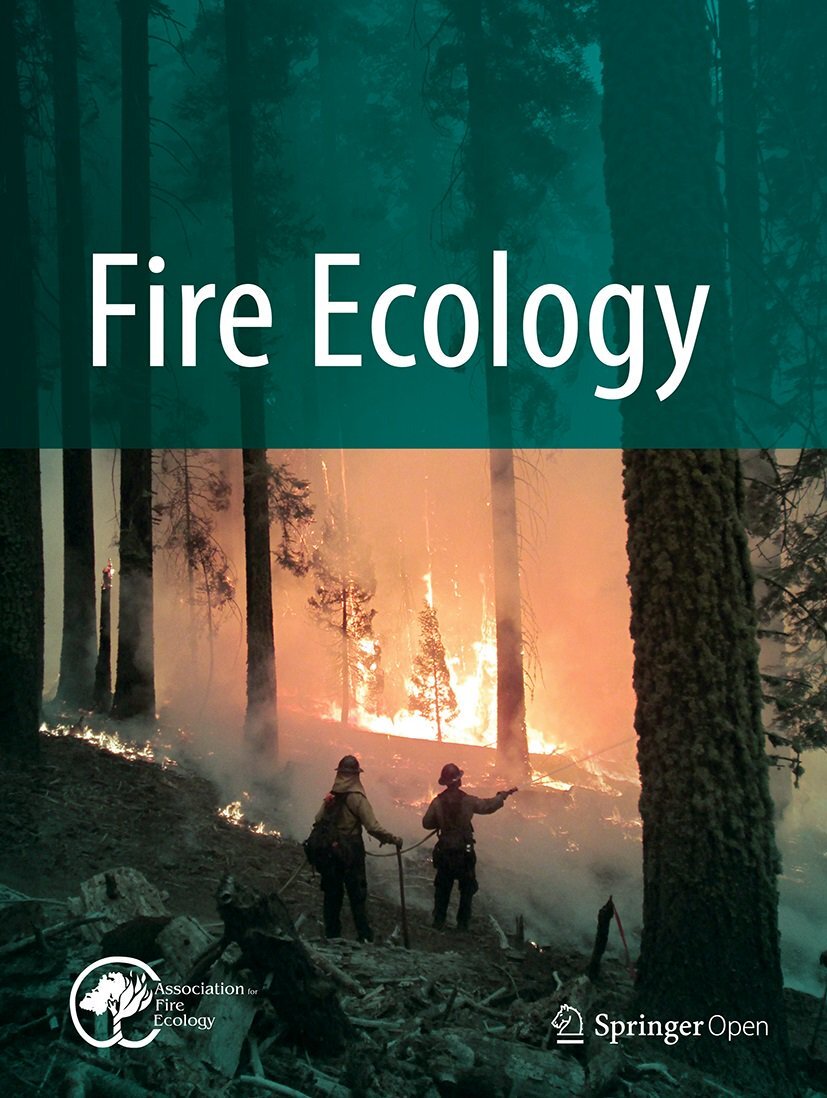
Fuel treatment response groups for fire-prone sagebrush landscapes
IF 5
3区 环境科学与生态学
Q1 ECOLOGY
引用次数: 0
Abstract
Sagebrush shrublands in the Great Basin, USA, are experiencing widespread increases in wildfire size and area burned resulting in new policies and funding to implement fuel treatments. However, we lack the spatial data needed to optimize the types and locations of fuel treatments across large landscapes and mitigate fire risk. To address this, we developed treatment response groups (TRGs)—sagebrush and pinyon-juniper vegetation associations that differ in resilience to fire and resistance to annual grass invasion (R&R) and thus responses to fuel treatments. We developed spatial layers of the dominant sagebrush associations by overlaying LANDFIRE Existing Vegetation Type, Biophysical Setting, and Mapping Zone, extracting vegetation plot data from the LANDFIRE 2016 LF Reference Database for each combination, and identifying associated sagebrush, grass, shrub, and tree species. We derived spatial layers of pinyon-juniper (PJ) cover and expansion phase within the sagebrush associations from the Rangeland Analysis Platform and identified persistent PJ woodlands from the LANDFIRE Biophysical Setting. TRGs were created by overlaying dominant sagebrush associations, with and without PJ expansion, and new indicators of resilience and resistance. We assigned appropriate woody fuel treatments to the TRGs based on prior research on treatment responses. The potential area to receive woody fuel treatments was constrained to 52,940 km2 (18.4%) of the dominant sagebrush associations (272,501 km2) largely because of extensive areas of low R&R (68.9%), which respond poorly and were not assigned treatments. Prescribed fire was assigned to big sagebrush associations with moderate or higher resilience and moderately low or higher resistance (14.2%) due to higher productivity, fuels, and recovery potential. Mechanical treatments were assigned to big sagebrush associations with moderately low resilience and to low, black, and mixed low sagebrush associations with moderately low or higher R&R (4.2%) due to lower productivity, fuels, and recovery potential. Persistent PJ woodlands represent high value resources and were not assigned treatments (9%). Mapped TRGs can help identify the dominant sagebrush associations and determine appropriate fuel treatments at intermediate scales and provide the basis for quantitative wildfire risk assessments and outcome-based scenario planning to prioritize fuel treatment investments at large landscape scales.易发火灾的山艾树景观的燃料处理响应组
美国大盆地的山艾灌木正在经历野火规模和燃烧面积的广泛增加,导致实施燃料处理的新政策和资金。然而,我们缺乏优化大型景观中燃料处理的类型和位置并降低火灾风险所需的空间数据。为了解决这个问题,我们开发了处理响应组(TRGs) -山艾树和松树-杜松植被关联,它们在火灾恢复能力和抵抗年草入侵(R&R)方面存在差异,因此对燃料处理的响应不同。通过叠加LANDFIRE现有植被类型、生物物理设置和制图区,提取LANDFIRE 2016 LF参考数据库中每个组合的植被图数据,并识别相关的山艾、草、灌木和树种,构建了优势组合的空间层。我们从牧场分析平台(Rangeland Analysis Platform)中得到了山艾丛中松柏(PJ)覆盖和扩张阶段的空间层,并从LANDFIRE生物物理设置中确定了持久的PJ林地。TRGs是通过覆盖具有和不具有PJ扩展的优势山艾丛,以及新的恢复力和抗性指标而创建的。我们根据先前对处理响应的研究为trg分配了适当的木质燃料处理。受木质燃料处理的潜在面积限制为52,940 km2(18.4%)的优势山艾丛(272,501 km2),主要原因是广泛的低R&R区域(68.9%),这些区域反应较差,没有分配处理。由于较高的生产力、燃料和恢复潜力,规定的火灾分配给具有中等或较高弹性和中等或较高抗性(14.2%)的大山艾丛。由于生产力、燃料和恢复潜力较低,机械处理被分配给适应力较低的大型山艾丛和适应性较低或较高(4.2%)的低矮、黑色和混合低矮山艾丛。持久性PJ林地代表高价值资源,未分配处理(9%)。绘制的trg可以帮助识别主要的山艾树群落,确定适当的中间尺度的燃料处理,并为定量野火风险评估和基于结果的情景规划提供基础,以便在大景观尺度上优先考虑燃料处理投资。
本文章由计算机程序翻译,如有差异,请以英文原文为准。
求助全文
约1分钟内获得全文
求助全文
来源期刊

Fire Ecology
ECOLOGY-FORESTRY
CiteScore
6.20
自引率
7.80%
发文量
24
审稿时长
20 weeks
期刊介绍:
Fire Ecology is the international scientific journal supported by the Association for Fire Ecology. Fire Ecology publishes peer-reviewed articles on all ecological and management aspects relating to wildland fire. We welcome submissions on topics that include a broad range of research on the ecological relationships of fire to its environment, including, but not limited to:
Ecology (physical and biological fire effects, fire regimes, etc.)
Social science (geography, sociology, anthropology, etc.)
Fuel
Fire science and modeling
Planning and risk management
Law and policy
Fire management
Inter- or cross-disciplinary fire-related topics
Technology transfer products.
 求助内容:
求助内容: 应助结果提醒方式:


