通用多通道技术用于增强从不同传感器获得的图像
引用次数: 0
摘要
本文描述了一种基于另一种具有更好空间分辨率的传感器图像来增强航空航天图像空间分辨率的方法。该技术不需要传感器角函数的精确知识,而是用局部信号空间结构的分析来取代它。低分辨率图像的校正程度取决于其与高分辨率图像的相关性。通过对微波和光学传感器数据的处理,证明了该技术的通用性。本文章由计算机程序翻译,如有差异,请以英文原文为准。
The universal multichannel technique for enhancing images obtained from different sensors
A technique is described which embodies a robust approach to enhancing spatial resolution of aerospace images based on images made with another sensor with a better spatial resolution. The technique does not require an exact knowledge of the sensor angular functions replacing it with the analysis of a local signals spatial structure. The extent of correction of a low resolution image depends on its correlation with high resolution images. The universality of the technique is demonstrated by its applications to data of microwave and optical sensors.
求助全文
通过发布文献求助,成功后即可免费获取论文全文。
去求助
来源期刊
自引率
0.00%
发文量
3984
期刊介绍:
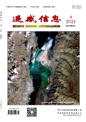
Remote Sensing Information is a bimonthly academic journal supervised by the Ministry of Natural Resources of the People's Republic of China and sponsored by China Academy of Surveying and Mapping Science. Since its inception in 1986, it has been one of the authoritative journals in the field of remote sensing in China.In 2014, it was recognised as one of the first batch of national academic journals, and was awarded the honours of Core Journals of China Science Citation Database, Chinese Core Journals, and Core Journals of Science and Technology of China. The journal won the Excellence Award (First Prize) of the National Excellent Surveying, Mapping and Geographic Information Journal Award in 2011 and 2017 respectively.
Remote Sensing Information is dedicated to reporting the cutting-edge theoretical and applied results of remote sensing science and technology, promoting academic exchanges at home and abroad, and promoting the application of remote sensing science and technology and industrial development. The journal adheres to the principles of openness, fairness and professionalism, abides by the anonymous review system of peer experts, and has good social credibility. The main columns include Review, Theoretical Research, Innovative Applications, Special Reports, International News, Famous Experts' Forum, Geographic National Condition Monitoring, etc., covering various fields such as surveying and mapping, forestry, agriculture, geology, meteorology, ocean, environment, national defence and so on.
Remote Sensing Information aims to provide a high-level academic exchange platform for experts and scholars in the field of remote sensing at home and abroad, to enhance academic influence, and to play a role in promoting and supporting the protection of natural resources, green technology innovation, and the construction of ecological civilisation.

 求助内容:
求助内容: 应助结果提醒方式:


