无人机在县域应急医疗服务系统中的应用初探

Q4 Nursing
Zhang Minhai, Wang Hui, Y. Hang, Yu Yuhui, Chen Jiang, Zhang Xiaoan, Ao Xinhua, Li Qiang, Zhang Mao
{"title":"无人机在县域应急医疗服务系统中的应用初探","authors":"Zhang Minhai, Wang Hui, Y. Hang, Yu Yuhui, Chen Jiang, Zhang Xiaoan, Ao Xinhua, Li Qiang, Zhang Mao","doi":"10.3760/CMA.J.ISSN.1671-0282.2019.10.011","DOIUrl":null,"url":null,"abstract":"Objective \nTo explore the feasibility and advantage of the drones in a county emergency medical service system. \n \n \nMethods \nThe study was conducted in Changxing County, Zhejiang Province from January to September 2018. The Changxing County People's Hospital and the health centers within its radius of 25 km were included in the study. Three types of indicators were obtained by using commercial drones to transfer simulated first-aid medical supplies from health centers to county people's hospitals: (1)The flight time of the drone; (2) The road traffic time measured by Baidu map and Tencent map software of the above-mentioned route at midnight; (3) The road traffic time measured by Amap software of these routes at 0: 00, 8: 00, 10:00, 12:00, 14:00, 16:00, 18:00, 20:00. The road traffic time at different time points measured by map softwares and drones flight time were compared. Wilcoxon symbolic rank test was used for statistical analysis, and P value of < 0.05 was considered statistically significant. \n \n \nResults \n(1) A total of 10 health centers were involved in this study, the air straight-line distance between them and the county people's hospital was (10.97±3.59) km, and the road traffic distance was (13.61±4.95) km. (2) The flight time of drone was (16.35±5.15) min, less than road traffic time measured by Amap, Baidu and Tencent map software, which were (21.40±5.15) min, (22.50±6.11) min, (22.00±5.23) min, respectively (P< 0.01). (3)The road traffic time measured by Amap software was longer than that of drones from 0:00 to 20:00 (P< 0.01), with the maximum time of (27.80±6.12) min at 18:00, and the minimum time of (21.40±5.15) min at midnight. Drones could save up 14.07 min at most and 2.8 min at least, with an average save of (7.98±1.32) min. \n \n \nConclusions \nDrone might be used to transfer first aid medical supplies between health centers in a county area, which is faster than road transportation. It has a better application prospect and is worth to further study. \n \n \nKey words: \nDrone; Emergency medical service system; County; Partnership health center","PeriodicalId":9981,"journal":{"name":"中华急诊医学杂志","volume":"28 1","pages":"1237-1241"},"PeriodicalIF":0.0000,"publicationDate":"2019-10-10","publicationTypes":"Journal Article","fieldsOfStudy":null,"isOpenAccess":false,"openAccessPdf":"","citationCount":"0","resultStr":"{\"title\":\"Preliminary study on application of drones in a county emergency medical service system\",\"authors\":\"Zhang Minhai, Wang Hui, Y. Hang, Yu Yuhui, Chen Jiang, Zhang Xiaoan, Ao Xinhua, Li Qiang, Zhang Mao\",\"doi\":\"10.3760/CMA.J.ISSN.1671-0282.2019.10.011\",\"DOIUrl\":null,\"url\":null,\"abstract\":\"Objective \\nTo explore the feasibility and advantage of the drones in a county emergency medical service system. \\n \\n \\nMethods \\nThe study was conducted in Changxing County, Zhejiang Province from January to September 2018. The Changxing County People's Hospital and the health centers within its radius of 25 km were included in the study. Three types of indicators were obtained by using commercial drones to transfer simulated first-aid medical supplies from health centers to county people's hospitals: (1)The flight time of the drone; (2) The road traffic time measured by Baidu map and Tencent map software of the above-mentioned route at midnight; (3) The road traffic time measured by Amap software of these routes at 0: 00, 8: 00, 10:00, 12:00, 14:00, 16:00, 18:00, 20:00. The road traffic time at different time points measured by map softwares and drones flight time were compared. Wilcoxon symbolic rank test was used for statistical analysis, and P value of < 0.05 was considered statistically significant. \\n \\n \\nResults \\n(1) A total of 10 health centers were involved in this study, the air straight-line distance between them and the county people's hospital was (10.97±3.59) km, and the road traffic distance was (13.61±4.95) km. (2) The flight time of drone was (16.35±5.15) min, less than road traffic time measured by Amap, Baidu and Tencent map software, which were (21.40±5.15) min, (22.50±6.11) min, (22.00±5.23) min, respectively (P< 0.01). (3)The road traffic time measured by Amap software was longer than that of drones from 0:00 to 20:00 (P< 0.01), with the maximum time of (27.80±6.12) min at 18:00, and the minimum time of (21.40±5.15) min at midnight. Drones could save up 14.07 min at most and 2.8 min at least, with an average save of (7.98±1.32) min. \\n \\n \\nConclusions \\nDrone might be used to transfer first aid medical supplies between health centers in a county area, which is faster than road transportation. It has a better application prospect and is worth to further study. \\n \\n \\nKey words: \\nDrone; Emergency medical service system; County; Partnership health center\",\"PeriodicalId\":9981,\"journal\":{\"name\":\"中华急诊医学杂志\",\"volume\":\"28 1\",\"pages\":\"1237-1241\"},\"PeriodicalIF\":0.0000,\"publicationDate\":\"2019-10-10\",\"publicationTypes\":\"Journal Article\",\"fieldsOfStudy\":null,\"isOpenAccess\":false,\"openAccessPdf\":\"\",\"citationCount\":\"0\",\"resultStr\":null,\"platform\":\"Semanticscholar\",\"paperid\":null,\"PeriodicalName\":\"中华急诊医学杂志\",\"FirstCategoryId\":\"3\",\"ListUrlMain\":\"https://doi.org/10.3760/CMA.J.ISSN.1671-0282.2019.10.011\",\"RegionNum\":0,\"RegionCategory\":null,\"ArticlePicture\":[],\"TitleCN\":null,\"AbstractTextCN\":null,\"PMCID\":null,\"EPubDate\":\"\",\"PubModel\":\"\",\"JCR\":\"Q4\",\"JCRName\":\"Nursing\",\"Score\":null,\"Total\":0}","platform":"Semanticscholar","paperid":null,"PeriodicalName":"中华急诊医学杂志","FirstCategoryId":"3","ListUrlMain":"https://doi.org/10.3760/CMA.J.ISSN.1671-0282.2019.10.011","RegionNum":0,"RegionCategory":null,"ArticlePicture":[],"TitleCN":null,"AbstractTextCN":null,"PMCID":null,"EPubDate":"","PubModel":"","JCR":"Q4","JCRName":"Nursing","Score":null,"Total":0}
引用次数: 0

摘要

目的探讨无人机在县级应急医疗服务系统中的可行性和优势。方法2018年1 - 9月在浙江省长兴县进行研究。长兴县人民医院及其半径25公里范围内的卫生院纳入研究范围。利用商用无人机将模拟急救医疗物资从卫生院转运至县级人民医院,获得了三类指标:(1)无人机飞行时间;(2)百度地图和腾讯地图软件测得的上述路线午夜时分的道路交通时间;(3)高德地图软件测得的各路段0点、8点、10点、12点、14点、16点、18点、20点的道路交通时间。对比地图软件测量的不同时间点道路交通时间和无人机飞行时间。采用Wilcoxon符号秩次检验进行统计学分析,P值< 0.05为差异有统计学意义。结果(1)本研究共涉及10家卫生院,它们与县人民医院的空中直线距离为(10.97±3.59)km,与道路交通距离为(13.61±4.95)km。(2)无人机飞行时间为(16.35±5.15)min,低于高德地图、百度和腾讯地图软件测得的道路交通时间(21.40±5.15)min、(22.50±6.11)min和(22.00±5.23)min (P< 0.01)。(3) 0:00 ~ 20:00,高德地图软件测得的道路交通时间比无人机长(P< 0.01),其中18:00时最长(27.80±6.12)min,午夜时最短(21.40±5.15)min。无人机最多可节省14.07 min,最少可节省2.8 min,平均节省(7.98±1.32)min。结论无人机可用于县域卫生中心之间急救物资的转运,比公路运输速度快。具有较好的应用前景,值得进一步研究。关键词:无人机;应急医疗服务体系;县;伙伴健康中心
本文章由计算机程序翻译,如有差异,请以英文原文为准。
Preliminary study on application of drones in a county emergency medical service system
Objective To explore the feasibility and advantage of the drones in a county emergency medical service system. Methods The study was conducted in Changxing County, Zhejiang Province from January to September 2018. The Changxing County People's Hospital and the health centers within its radius of 25 km were included in the study. Three types of indicators were obtained by using commercial drones to transfer simulated first-aid medical supplies from health centers to county people's hospitals: (1)The flight time of the drone; (2) The road traffic time measured by Baidu map and Tencent map software of the above-mentioned route at midnight; (3) The road traffic time measured by Amap software of these routes at 0: 00, 8: 00, 10:00, 12:00, 14:00, 16:00, 18:00, 20:00. The road traffic time at different time points measured by map softwares and drones flight time were compared. Wilcoxon symbolic rank test was used for statistical analysis, and P value of < 0.05 was considered statistically significant. Results (1) A total of 10 health centers were involved in this study, the air straight-line distance between them and the county people's hospital was (10.97±3.59) km, and the road traffic distance was (13.61±4.95) km. (2) The flight time of drone was (16.35±5.15) min, less than road traffic time measured by Amap, Baidu and Tencent map software, which were (21.40±5.15) min, (22.50±6.11) min, (22.00±5.23) min, respectively (P< 0.01). (3)The road traffic time measured by Amap software was longer than that of drones from 0:00 to 20:00 (P< 0.01), with the maximum time of (27.80±6.12) min at 18:00, and the minimum time of (21.40±5.15) min at midnight. Drones could save up 14.07 min at most and 2.8 min at least, with an average save of (7.98±1.32) min. Conclusions Drone might be used to transfer first aid medical supplies between health centers in a county area, which is faster than road transportation. It has a better application prospect and is worth to further study. Key words: Drone; Emergency medical service system; County; Partnership health center
求助全文
通过发布文献求助,成功后即可免费获取论文全文。 去求助
来源期刊
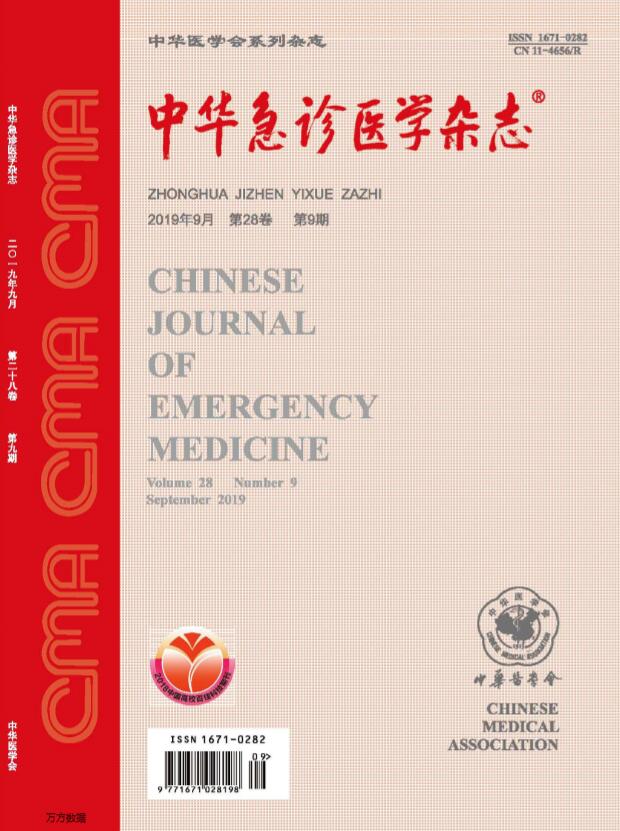
中华急诊医学杂志
中华急诊医学杂志 Nursing-Emergency Nursing
CiteScore
0.10
自引率
0.00%
发文量
8629
期刊介绍: Chinese Journal of Emergency Medicine is the only national journal which represents the development of emergency medicine in China. The journal is supervised by China Association of Science and Technology, sponsored by Chinese Medical Association, and co-sponsored by Zhejiang University. The journal publishes original research articles dealing with all aspects of clinical practice and research in emergency medicine. The columns include Pre-Hospital Rescue, Emergency Care, Trauma, Resuscitation, Poisoning, Disaster Medicine, Continuing Education, etc. It has a wide coverage in China, and builds up communication with Hong Kong, Macao, Taiwan and international emergency medicine circles.
×
引用
GB/T 7714-2015
复制
MLA
复制
APA
复制
导出至
BibTeX EndNote RefMan NoteFirst NoteExpress
×
提示
您的信息不完整,为了账户安全,请先补充。
现在去补充
×
提示
您因"违规操作"
具体请查看互助需知
我知道了
×
提示
确定
请完成安全验证×
copy
已复制链接
快去分享给好友吧!
我知道了
右上角分享
点击右上角分享
0
联系我们:info@booksci.cn Book学术提供免费学术资源搜索服务,方便国内外学者检索中英文文献。致力于提供最便捷和优质的服务体验。 Copyright © 2023 布克学术 All rights reserved.
京ICP备2023020795号-1
ghs 京公网安备 11010802042870号
Book学术文献互助
Book学术文献互助群
群 号:481959085
Book学术官方微信