结合街景图像和设计规则的城市公用事业网络地理空间制图
IF 9.1
1区 工程技术
Q1 COMPUTER SCIENCE, INTERDISCIPLINARY APPLICATIONS
引用次数: 0
摘要
城市公用事业网络(如电力网络[EPN]和配水网络[WDN])对城市管理至关重要,但其拓扑结构的大尺度地理空间测绘仍然具有挑战性。为此,提出了一种集成街景图像和设计规则的智能方法来生成EPN和WDN的地理空间映射。首先,使用街景图像和观测自适应方位线模型检测和定位公用事业标记。随后,应用EPN设计规则将局部标记分类为关键EPN节点,实现多级EPN拓扑的自动映射。最后,通过纳入WDN设计规则对框架进行扩展,从而实现了混合环树WDN的地理空间映射。城市尺度的应用表明,该方法实现了EPN和WDN的高效、准确映射。该方法以街景图像为基础,构建具有社区级粒度的公用事业网络地理空间映射,支持城市基础设施管理。本文章由计算机程序翻译,如有差异,请以英文原文为准。
Geospatial mapping of urban utility networks integrating street view images and design rules
Urban utility networks (e.g., electric power networks [EPN] and water distribution networks [WDN]) are critical for urban management, yet large‐scale geospatial mapping of their topologies remains challenging. To this end, an intelligent method integrating street view images and design rules is proposed to generate geospatial mapping of EPN and WDN. First, utility markers are detected and located using street view images and an observation‐adaptive line‐of‐bearing model. Subsequently, EPN design rules are applied to classify localized markers into key EPN nodes, enabling automated mapping of multilevel EPN topologies. Finally, the framework is extended by incorporating WDN design rules, resulting in geospatial mapping for a hybrid loop‐tree WDN. A city‐scale application demonstrates that the proposed method achieves efficient and accurate mapping of EPN and WDN. Relying on street view images, the method constructs geospatial mappings of utility networks with community‐level granularity, supporting urban infrastructure management.
求助全文
通过发布文献求助,成功后即可免费获取论文全文。
去求助
来源期刊
CiteScore
17.60
自引率
19.80%
发文量
146
审稿时长
1 months
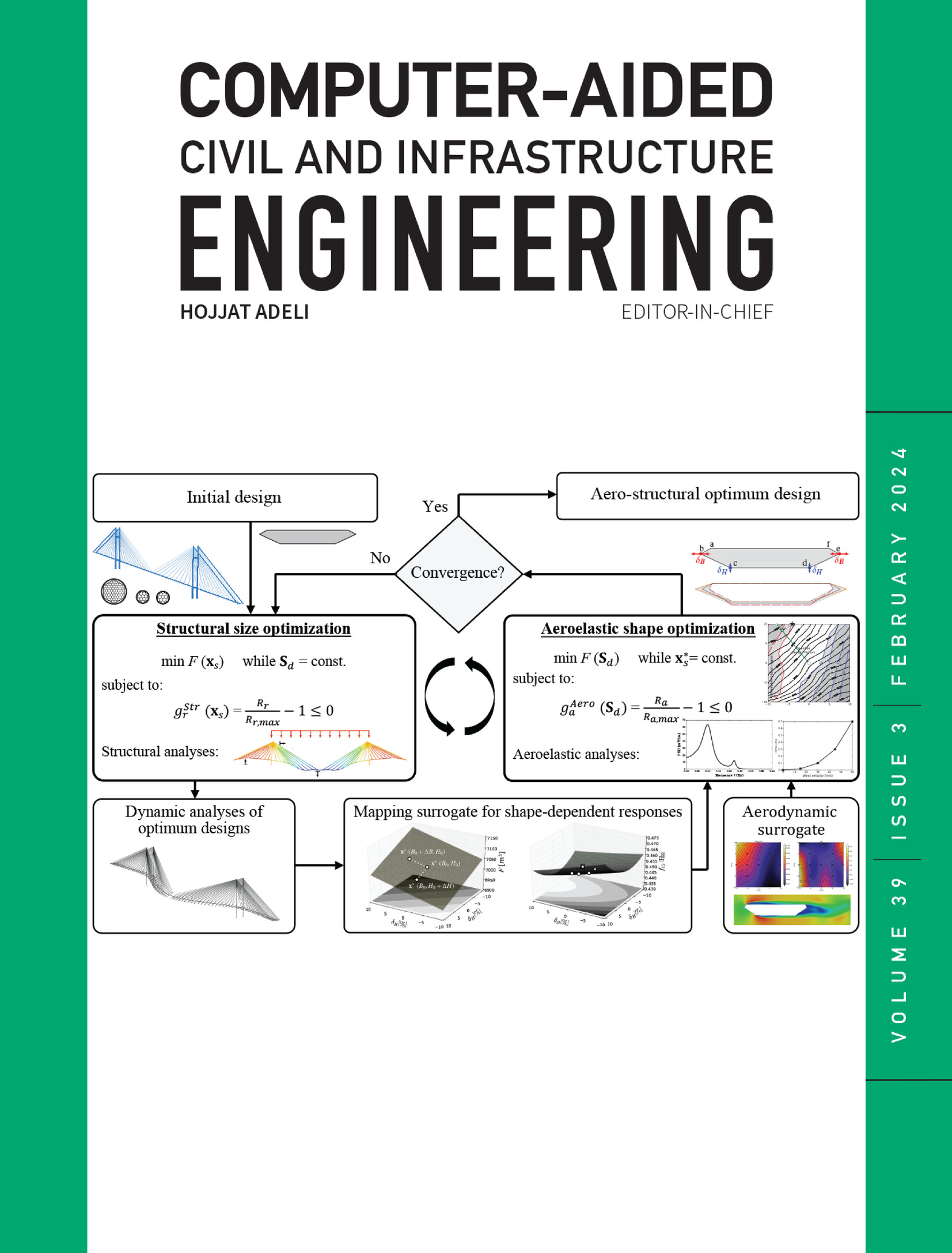
期刊介绍:
Computer-Aided Civil and Infrastructure Engineering stands as a scholarly, peer-reviewed archival journal, serving as a vital link between advancements in computer technology and civil and infrastructure engineering. The journal serves as a distinctive platform for the publication of original articles, spotlighting novel computational techniques and inventive applications of computers. Specifically, it concentrates on recent progress in computer and information technologies, fostering the development and application of emerging computing paradigms.
Encompassing a broad scope, the journal addresses bridge, construction, environmental, highway, geotechnical, structural, transportation, and water resources engineering. It extends its reach to the management of infrastructure systems, covering domains such as highways, bridges, pavements, airports, and utilities. The journal delves into areas like artificial intelligence, cognitive modeling, concurrent engineering, database management, distributed computing, evolutionary computing, fuzzy logic, genetic algorithms, geometric modeling, internet-based technologies, knowledge discovery and engineering, machine learning, mobile computing, multimedia technologies, networking, neural network computing, optimization and search, parallel processing, robotics, smart structures, software engineering, virtual reality, and visualization techniques.
 求助内容:
求助内容: 应助结果提醒方式:


