用于城市环境中智能车辆的地图车道匹配视觉辅助 RTK 模糊性解决方法

IF 3.7 1区 地球科学 Q1 GEOGRAPHY, PHYSICAL
Hongjuan Zhang, Chuang Qian, Wenzhuo Li, Bijun Li
{"title":"用于城市环境中智能车辆的地图车道匹配视觉辅助 RTK 模糊性解决方法","authors":"Hongjuan Zhang, Chuang Qian, Wenzhuo Li, Bijun Li","doi":"10.1080/17538947.2024.2383479","DOIUrl":null,"url":null,"abstract":"Despite the high-precision performance of GNSS real-time kinematic (RTK) in many cases, harsh signal environments still lead to ambiguity-fixed failure and worse positioning results in kinematic lo...","PeriodicalId":54962,"journal":{"name":"International Journal of Digital Earth","volume":null,"pages":null},"PeriodicalIF":3.7000,"publicationDate":"2024-07-29","publicationTypes":"Journal Article","fieldsOfStudy":null,"isOpenAccess":false,"openAccessPdf":"","citationCount":"0","resultStr":"{\"title\":\"A vision-aided RTK ambiguity resolution method by map lane matching for intelligent vehicle in urban environment\",\"authors\":\"Hongjuan Zhang, Chuang Qian, Wenzhuo Li, Bijun Li\",\"doi\":\"10.1080/17538947.2024.2383479\",\"DOIUrl\":null,\"url\":null,\"abstract\":\"Despite the high-precision performance of GNSS real-time kinematic (RTK) in many cases, harsh signal environments still lead to ambiguity-fixed failure and worse positioning results in kinematic lo...\",\"PeriodicalId\":54962,\"journal\":{\"name\":\"International Journal of Digital Earth\",\"volume\":null,\"pages\":null},\"PeriodicalIF\":3.7000,\"publicationDate\":\"2024-07-29\",\"publicationTypes\":\"Journal Article\",\"fieldsOfStudy\":null,\"isOpenAccess\":false,\"openAccessPdf\":\"\",\"citationCount\":\"0\",\"resultStr\":null,\"platform\":\"Semanticscholar\",\"paperid\":null,\"PeriodicalName\":\"International Journal of Digital Earth\",\"FirstCategoryId\":\"89\",\"ListUrlMain\":\"https://doi.org/10.1080/17538947.2024.2383479\",\"RegionNum\":1,\"RegionCategory\":\"地球科学\",\"ArticlePicture\":[],\"TitleCN\":null,\"AbstractTextCN\":null,\"PMCID\":null,\"EPubDate\":\"\",\"PubModel\":\"\",\"JCR\":\"Q1\",\"JCRName\":\"GEOGRAPHY, PHYSICAL\",\"Score\":null,\"Total\":0}","platform":"Semanticscholar","paperid":null,"PeriodicalName":"International Journal of Digital Earth","FirstCategoryId":"89","ListUrlMain":"https://doi.org/10.1080/17538947.2024.2383479","RegionNum":1,"RegionCategory":"地球科学","ArticlePicture":[],"TitleCN":null,"AbstractTextCN":null,"PMCID":null,"EPubDate":"","PubModel":"","JCR":"Q1","JCRName":"GEOGRAPHY, PHYSICAL","Score":null,"Total":0}
引用次数: 0

摘要

尽管全球导航卫星系统(GNSS)的实时运动学(RTK)在许多情况下都具有高精度性能,但恶劣的信号环境仍会导致模糊固定失效,并使运动学定位结果更差。
本文章由计算机程序翻译,如有差异,请以英文原文为准。
A vision-aided RTK ambiguity resolution method by map lane matching for intelligent vehicle in urban environment
Despite the high-precision performance of GNSS real-time kinematic (RTK) in many cases, harsh signal environments still lead to ambiguity-fixed failure and worse positioning results in kinematic lo...
求助全文
通过发布文献求助,成功后即可免费获取论文全文。 去求助
来源期刊
CiteScore
6.50
自引率
3.90%
发文量
88
审稿时长
3 months
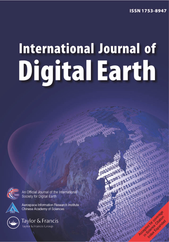
期刊介绍: The International Journal of Digital Earth is a response to this initiative. This peer-reviewed academic journal (SCI-E) focuses on the theories, technologies, applications, and societal implications of Digital Earth and those visionary concepts that will enable a modeled virtual world. The journal encourages papers that: Progress visions for Digital Earth frameworks, policies, and standards; Explore geographically referenced 3D, 4D, or 5D models to represent the real planet, and geo-data-intensive science and discovery; Develop methods that turn all forms of geo-referenced data, from scientific to social, into useful information that can be analyzed, visualized, and shared; Present innovative, operational applications and pilots of Digital Earth technologies at a local, national, regional, and global level; Expand the role of Digital Earth in the fields of Earth science, including climate change, adaptation and health related issues,natural disasters, new energy sources, agricultural and food security, and urban planning; Foster the use of web-based public-domain platforms, social networks, and location-based services for the sharing of digital data, models, and information about the virtual Earth; and Explore the role of social media and citizen-provided data in generating geo-referenced information in the spatial sciences and technologies.
×
引用
GB/T 7714-2015
复制
MLA
复制
APA
复制
导出至
BibTeX EndNote RefMan NoteFirst NoteExpress
×
提示
您的信息不完整,为了账户安全,请先补充。
现在去补充
×
提示
您因"违规操作"
具体请查看互助需知
我知道了
×
提示
确定
请完成安全验证×
copy
已复制链接
快去分享给好友吧!
我知道了
右上角分享
点击右上角分享
0
联系我们:info@booksci.cn Book学术提供免费学术资源搜索服务,方便国内外学者检索中英文文献。致力于提供最便捷和优质的服务体验。 Copyright © 2023 布克学术 All rights reserved.
京ICP备2023020795号-1
ghs 京公网安备 11010802042870号
Book学术文献互助
Book学术文献互助群
群 号:481959085
Book学术官方微信